


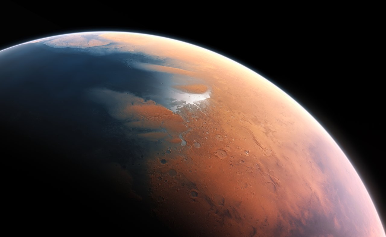
Recent radar and thermal data suggest Mars is colder and icier than earlier models predicted. Orbiting spacecraft are helping scientists map where ice hides, not just at the poles but deeper underground and in mid-latitudes. The discovery could reshape mission planning and the long-term goal of human exploration.
Overview
Key takeaway: Ice might be more widespread and deeper than we realized, raising exciting possibilities for ISRU and science.
What the data are showing
Ice beyond the obvious polar caps
Radar sounding and infrared measurements point to thicker, more extensive ice layers beneath regions previously thought ice-poor, suggesting hidden reservoirs.
Radar and infrared signals
Orbital radar techniques reveal buried layers; infrared imaging helps identify temperatures compatible with stable ice.
Subsurface ice in mid-latitudes
Ice could persist deeper in soil as temperatures swing daily and seasonally, painting a more complex cold story for Mars than surface frost alone would imply.
Data sources and cross-checks
Findings come from multiple missions: orbital radars, thermal maps, and surface measurements from landers and rovers, cross-validated to bolster confidence in buried ice detection.
Implications for ISRU
If confirmed, buried ice pockets could be more accessible than thought, easing water resources for future explorers.
Why Mars stays icier than we assumed
Mars heats up during the day but plunges to frigid temperatures at night, especially away from the equator. Its thin atmosphere means little greenhouse effect, so heat escapes rapidly. In this setting, ice can persist and accumulate in layered structures beneath the surface, not just on the surface.
Different types of ice—water ice, dry ice (frozen carbon dioxide), and mixed layers—behave differently under sunlight and thermal cycles, adding complexity to the planet’s cold story.
Why this matters for exploration and science
- Resource potential: Water for life support and fuel could be harvested from ice pockets, reducing dependence on Earth-supplied supplies.
- Landing site planning: Ice-rich regions pose challenges (cold stability, dust interactions) but also offer science-rich deposits that preserve clues about Mars’ history.
- Climate history: Subsurface ice patterns help inform models of Mars’ past climate and how its atmosphere evolved.
How researchers are tackling the question
Radar from orbiters
Orbiting radar penetrates the ground to reveal buried layers, similar in goal to seismic methods on Earth but tailored to Mars’ dry soils.
Thermal data
Thermal imaging helps infer where ice could be stable by showing how heat moves through the surface and subsurface.
Cross-referencing datasets
Combining measurements from multiple missions increases confidence that the signals come from ice rather than surface frost or minerals.
What comes next
Enhanced mapping
Future missions with advanced radar and thermal instruments will refine ice thickness estimates and map hidden reservoirs at higher resolution.
Human and robotic planning
Improved ice intelligence informs where to focus ISRU tests, water extraction experiments, and sample collection campaigns.
Climate modeling
New data feed into more accurate climate models to reconstruct Mars’ ancient atmosphere and its impact on current ice distributions.
Closing thought
Mars continues to surprise us with its icy secrets. Each new measurement nudges the red planet from a dry, static world toward a dynamic system with reservoirs that could one day sustain exploration—and deepen our understanding of planetary climates across the solar system.
Call to curiosity
If you could deploy a future ice-detection mission to a promising mid-latitude region on Mars, what key question would you want it to answer? Share your ideas below.