


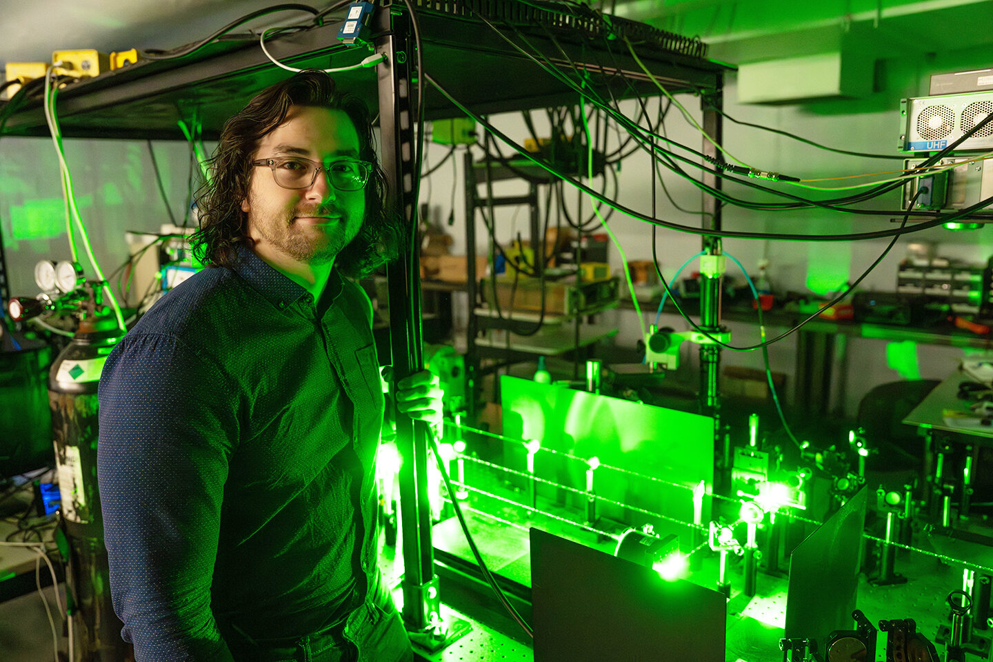
U of T researchers Shoshanna Saxe, left, and Alex Olson say their approach could help urban planners better understand cities’ resource needs and prioritize future infrastructure projects. Credit: Phill Snel
Unlocking Urban Secrets with AI
Imagine strolling through a city and, with a glance, discerning the age and size of every building you pass. Thanks to a groundbreaking study from the University of Toronto, this vision is becoming a reality. Researchers have developed an artificial intelligence (AI) system that analyzes Google Street View images to estimate buildings’ age and floor area, providing insights previously hidden behind facades.
The Technology Behind the Vision
Training AI to Read the Urban Landscape
Led by Associate Professor Shoshanna Saxe, the research team trained AI models to interpret external building images. The results are impressive: about 70% accuracy in predicting building age and 80% for estimating floor area. This offers a cost-effective alternative to traditional building surveys, which are often resource-heavy and expensive.
Street View as a Data Goldmine
By using publicly available Street View imagery, the researchers gathered comprehensive data for just $1,000—an astounding contrast to the millions such efforts might otherwise require. This approach democratizes access to urban data, making it more accessible for researchers and city planners alike.
Implications for Urban Planning and Sustainability
Why Building Data Matters
Knowing the size and age of buildings is more than a trivia exercise—it helps urban planners assess the environmental footprint of urban infrastructure. Specifically, it informs estimates of embodied greenhouse gas emissions—the carbon cost of materials used in construction and maintenance.
Supporting Smarter Cities
This kind of analysis supports better decision-making around zoning, renovation priorities, and sustainability goals. With accurate data, cities can direct efforts where they are needed most, improving efficiency and resilience.
Beyond the Surface: A New Perspective on Cities
Seeing More Than Meets the Eye
Co-author Alex Olson points out that a building’s exterior often offers clues about its interior layout and function. By analyzing features such as windows, materials, and design, AI can make educated inferences about a building’s use and structural complexity—insights not typically captured in maps or blueprints.
A Glimpse into the Future
This fusion of AI and accessible imagery is reshaping how we understand our cities. As urban areas continue to expand, tools like this will be vital for planning smarter, greener, and more adaptive communities.
What’s Next?
Curious about how AI is reshaping our understanding of urban landscapes? Explore more breakthroughs in science and technology at DailySciTech.com.